Ground Penetrating Radar (GPR) Surveys
Southern Geophysical own and operate New Zealand’s largest range of Ground Penetrating Radar (GPR) systems
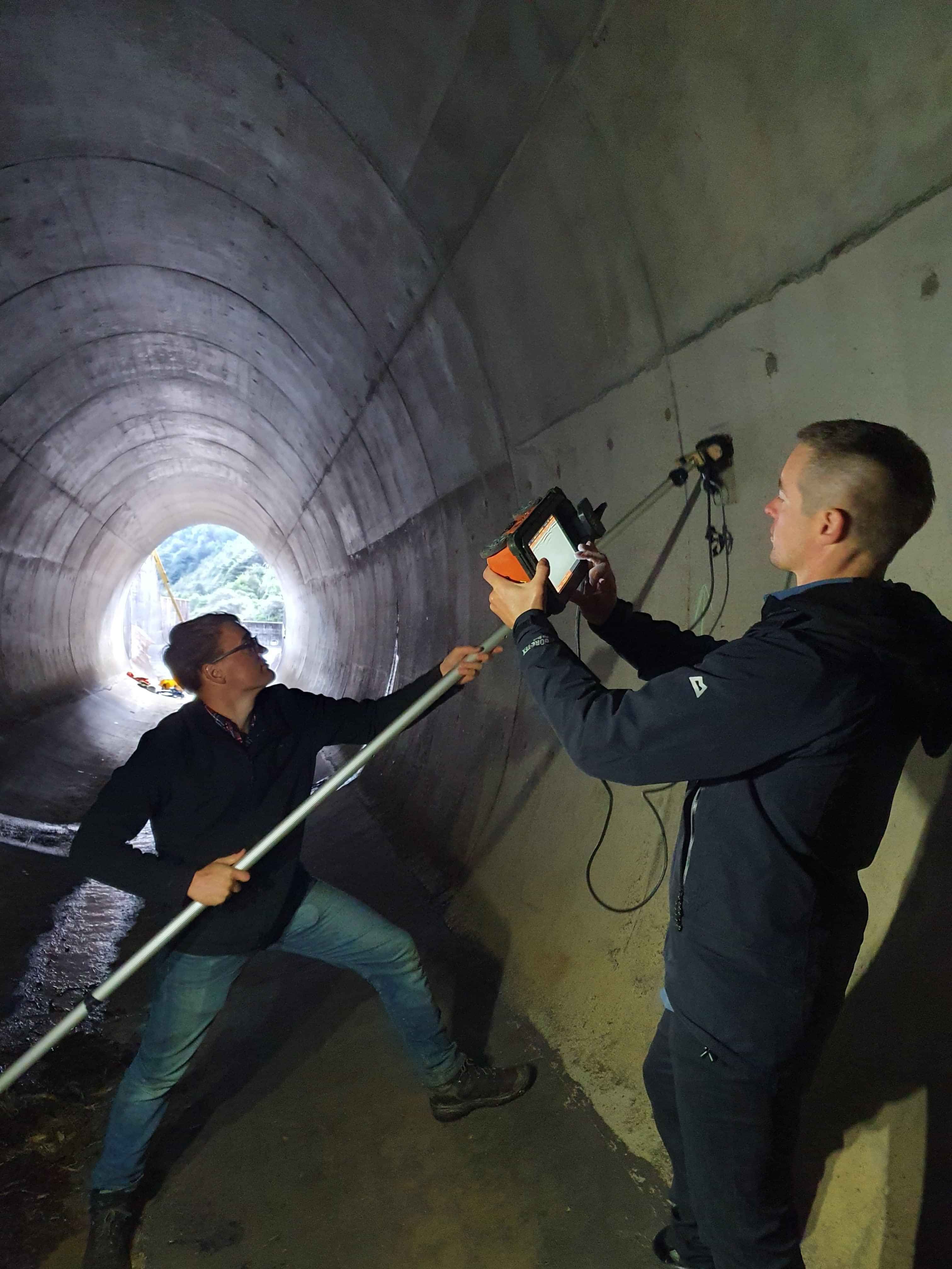
GPR is one of the simplest to deploy and operate methods. An enclosed GPR system is pulled along the ground surface with an odometer wheel and an acquisition computer. Southern Geophysical utilises a wide range of GPR antenna frequencies, ranging from 100MHz to 2700MHz.
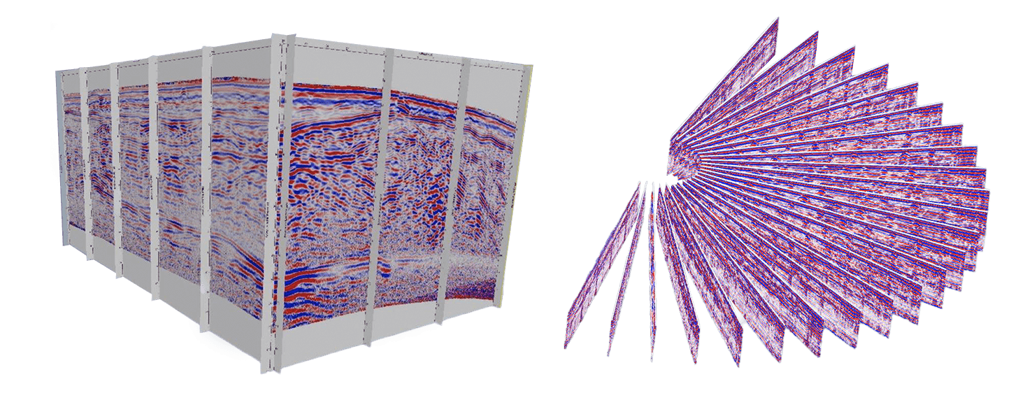
We have been undertaking radar surveys in New Zealand for more than 20 years encompassing numerous civil, geotechnical and research projects using the latest ground penetrating radar GPR technology. We have extensive knowledge of where and when GPR can be used successfully and have invested heavily in developing 3D acquisition and processing methods.

Advanced GPR Systems
We have a full range of GPR systems for subsurface mapping, including GSSI’s latest 200 and 350 hyperstacking antennas. We also have three independent concrete scanning systems in various sizes and form factors for those unusual jobs.
There are many projects where GPR maybe useful. Here are a few examples:
Finding voids/mine seams and tomos
Finding the depth to bedrock
Delineating and mapping the extent of overburden
Mapping sediment changes between sparse invasive tests (CPT/PITS etc)
Finding the water table
Finding buried ice
Locating fault traces and fault related features
Stop bank investigations
Large scale utility locating and mapping
Pipe Locating

High-Resolution GPR Imaging

The output from GPR is an image of the substrate based on changes in dielectric permittivity. It is the highest resolution method available for imaging the subsurface. For this reason, GPR is often used as a reconnaissance method prior to deploying more involved geophysical systems. Depth penetration with GPR depends on the conductivity of the subsurface, with excellent penetration through low conductivity material such as clean gravels, and poor penetration through high conductivity, clayey materials. GPR does not provide any engineering properties of the layer materials or any engineering properties of the subsurface.
How can we help?
Fill in the contact form below. We respond to all weekday enquiries within 24 hours


